Browse the Collection
Search the Collection
About the Collection
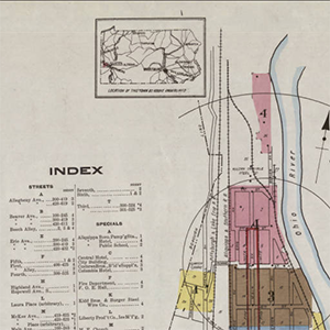
The Donald W. Hamer Center for Maps and Geospatial Information digital map drawer contains the subset of our physical map collection that has been digitized and is not protected by licensing or copyright. The digital map drawer contains a nearly complete collection of the Sanborn Fire Insurance Maps of Pennsylvania (1884 – 1938), historical maps from around the world, and an assortment of other historical Pennsylvania maps including the 1861 Tilden Map of Centre County. The digital map drawer can be accessed by using a keyword search on this page; or by keyword and geographic search using the Big Ten Academic Alliance’s Geoportal, to which Penn State contributes.
Collection Highlights
- Pennsylvania Sanborn Fire Insurance Maps
- 1861 Centre County Tilden Map
- 1873 Atlas of Blair and Huntingdon Counties, Pennsylvania
- 1874 Centre County Pomeroy Atlas
- Higbee Stream map of Pennsylvania
- Maps from Special Collections Library
- Index maps to topographic map sets (This is not a complete list of our holdings. Search the catalog for our holdings and contact Maps & GIS staff for assistance.)
- Pennsylvania 15 minute topographic maps (USGS)
Most, but not all of our print maps have been cataloged and are discoverable via the library catalog. For help searching the library catalog for print maps and imagery, please consult this guide.
Order scans/prints of maps.
Some of our digital historic aerial photography imagery collections of Pennsylvania can be accessed using the Pennsylvania Spatial Data Access (PASDA) Imagery Navigator. To access the remainder of our digital aerial photography collections, please contact us directly: UL-MAPS@LISTS.PSU.EDU
